

Summary
- Geovation's 23rd cohort comprises 12 companies, double its usual intake, following the addition of NERC and Defra to the programme's partnership.
- Six startups will work on environmental and land use applications, alongside three location intelligence and three property technology businesses.
- Participants can receive up to £20,000 in equity-free funding, specialist data access, mentoring, and support preparing for pilots and procurement.
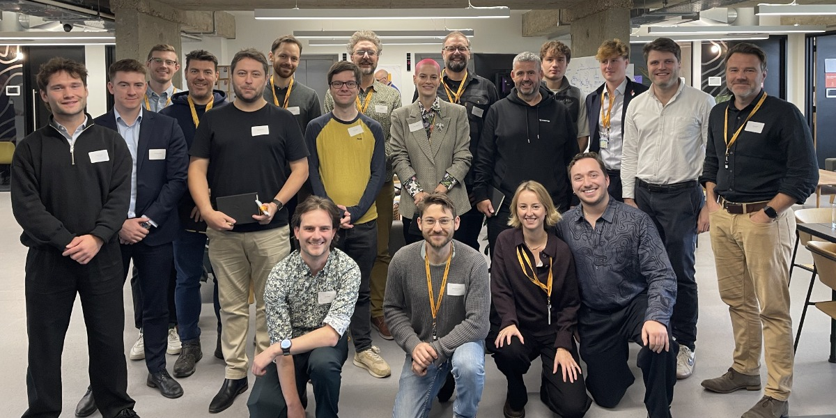
Geovation has doubled the intake of its latest startup accelerator to 12 companies, expanding its work with public sector data as the Natural Environment Research Council joins a partnership supporting technology for property, infrastructure, and environmental management.
The 23rd cohort includes six businesses developing applications for land use, agriculture, energy, and nature recovery, alongside three location intelligence companies and three property technology startups. Each is eligible for up to £20,000 in equity-free funding and receives access to mentoring, technical expertise, and relevant datasets.
NERC joins Ordnance Survey, HM Land Registry, and the Department for Environment, Food and Rural Affairs as a programme partner. Defra became involved in August 2026, with the two environmental organisations now supporting a dedicated spatial prioritisation track.
Satellite Applications Catapult will also provide mentoring for the six environmental startups, including support identifying pilot opportunities and preparing for procurement. The additional involvement broadens Geovation’s remit beyond mapping and property data towards commercial applications that combine geographical information with scientific and environmental evidence.
Environmental decisions require connected data
The new track brings together companies addressing different questions about how land is managed, developed, and valued. Their products depend on combining information that may originate from satellite imagery, mapping systems, ground sensors, historical records, and operational datasets.
RootRisk is developing geospatial AI to assess agricultural resilience, using information about farming practices and exposure to extreme weather to produce risk measures intended for financial and operational decisions.
Such assessments could help lenders or other organisations understand the potential consequences of environmental change, although their reliability will depend on the quality of the underlying information and the extent to which calculated risks correspond with observed outcomes.
Oversite Earth is building a natural capital intelligence platform using satellite, drone, and ground sensor data. Its product is intended to help landowners and managers measure environmental conditions and demonstrate changes in the natural value of their land.
Nature Data Solutions is developing HERON, a geospatial intelligence system intended to assess ecosystem resilience and identify suitable locations for nature recovery work. The company is combining Earth observation with information about habitats and environmental conditions.
Remote sensing can provide useful coverage across large areas, but the interpretation of environmental indicators remains demanding. Changes visible from satellite imagery may not establish the condition of a habitat or the success of a particular intervention without additional evidence.
Access to scientific expertise could therefore be especially valuable to startups whose customers need measurements that can support investment, land management, or regulatory decisions.
Infrastructure and energy applications broaden the cohort
The environmental track also includes Infraview, which is developing software to help infrastructure project teams manage stakeholder information and engagement processes.
Large infrastructure schemes can involve extensive communication with communities, landowners, public authorities, and specialist advisers. Maintaining accurate records of those interactions is important because projects may require evidence of consultation and responses to concerns over extended development periods.
DigVentures is participating through its Deep Time platform, which combines Earth observation, historical information, and citizen science to support environmental monitoring, heritage management, and landscape decisions.
Historical records can provide context for present-day environmental assessments, particularly where land use has changed substantially. Combining them with current observations may help identify areas requiring further investigation, although the differing accuracy and coverage of source material can limit direct comparisons.
ANO Insights is focused on solar investment, combining financial information, electricity generation data, planning records, and spatial analysis to support the assessment of operational assets.
The commercial value of a solar installation depends on factors extending beyond its physical location. Generation performance, operating costs, market arrangements, planning constraints, and the condition of equipment all influence its potential returns.
Combining these datasets could reduce manual research during asset assessment, provided the information remains current and users can understand how the platform reaches its conclusions.
Mapping technology moves into operational software
Geovation’s established location intelligence track, supported by Ordnance Survey, includes DearMP, StreetVision, and MapMap.
DearMP is developing case management software for MPs and their teams, helping staff organise constituent enquiries and track responses. The product addresses a workflow problem in public administration, where requests often arrive through several communications channels and require coordination between staff.
StreetVision uses computer vision and street-level imagery to assess infrastructure for walking, cycling, and accessibility. Its software is intended to turn visual observations into information that public authorities and other organisations can use when planning improvements.
That approach could reduce the effort required to inspect large numbers of streets, although automated assessments need to account for the age and quality of imagery and should not be assumed to identify every accessibility problem.
MapMap is developing mapping, search, and routing infrastructure intended for organisations and AI agents that want to operate those services under their own control.
The product reflects growing interest in giving software agents access to location information through programmable services. However, routing quality depends on the accuracy of mapping data, supported transport modes, and how frequently the relevant information is updated.
While the three companies serve different markets, their products each rely on turning geographical or administrative information into operational capabilities rather than merely displaying data.
Property startups address management and energy costs
The property technology track, delivered in association with HM Land Registry, includes Off-Market, Flatwise, and Consus Energy.
Off-Market is developing a private network through which estate agents can match potential buyers and sellers before properties are advertised through public portals. Its model depends on participating agents providing sufficiently reliable information about available properties and buyer requirements.
Flatwise is building a management platform for leaseholders and resident-controlled buildings, aiming to improve the organisation and visibility of activities normally handled through separate records and communications.
Consus Energy is focused on installing and managing battery storage at commercial properties, allowing building owners to manage electricity costs and potentially earn revenue through grid-related services.
The economics of commercial battery storage depend on installation costs, electricity tariffs, operational requirements, and access to suitable energy markets. A software platform can support those decisions, although the financial outcome remains dependent on the performance and use of the physical equipment.
Public partnerships support commercial readiness
Geovation was established by Ordnance Survey a decade ago, with HM Land Registry joining the following year. The accelerator has supported more than 250 startups, which have subsequently raised over £257 million in investment funding, according to the programme.
The latest recruitment round attracted more than 85% additional applications, Geovation says, contributing to the decision to increase the number of supported companies. The additional partners have made it possible to double the usual intake without eliminating the programme’s established location and property technology tracks.
Participating founders receive workshops, individual mentoring, and technical assistance, alongside access to data specialists who can help them understand the possibilities and limitations of information held by public bodies.
Such expertise can be particularly useful where startups are combining datasets created for different purposes. Mapping records, environmental observations, property information, and scientific measurements may have different licensing arrangements, update schedules, and standards of accuracy.
Commercial products need to account for those differences before their outputs can be used reliably in operational decisions. A visually persuasive map or risk score will not necessarily provide the evidence required by an investor, regulator, or public authority.
The involvement of Satellite Applications Catapult adds support for finding pilot customers and understanding procurement requirements. A successful technology demonstration may be insufficient for organisations that also require security assurance, documented performance, dependable support, and evidence that a supplier can deliver over time.
Accelerator participation does not guarantee that public sector partners will purchase the resulting products. Startups will need to establish demand independently and demonstrate that their services can operate beyond a supported pilot.
The 12 companies will now enter a programme covering customer development, technology, business models, intellectual property, funding readiness, and commercial delivery. For the new environmental track, access to scientific expertise and practical testing opportunities could be particularly important as founders attempt to move from data-driven prototypes into services customers can rely on.
Geovation’s expansion provides more companies with access to public datasets and specialist support. Its longer-term results will depend on whether participants turn those resources into dependable products, secure commercial customers, and establish businesses capable of continuing after the accelerator programme ends.


