Summary
- ICEYE is combining its synthetic aperture radar observations with OroraTech’s thermal satellite data.
- The proposed integrated service covers hotspot detection, fire progression monitoring and assessment of damage to buildings and infrastructure.
- The companies are targeting governments, utilities and insurers, but have not disclosed independent performance results for the combined service.
Finnish satellite operator ICEYE and German wildfire intelligence specialist OroraTech are combining thermal observations with radar imagery to help authorities, utilities and insurers follow wildfires from their early stages through to assessments of damage to buildings and infrastructure.
The partnership, announced on 22 October, will bring OroraTech’s thermal satellite information into ICEYE’s existing disaster monitoring offering. The companies intend to provide an integrated service covering hotspot detection, fire progression and subsequent damage assessment, reducing the need for customers to work across separate sources of satellite intelligence.
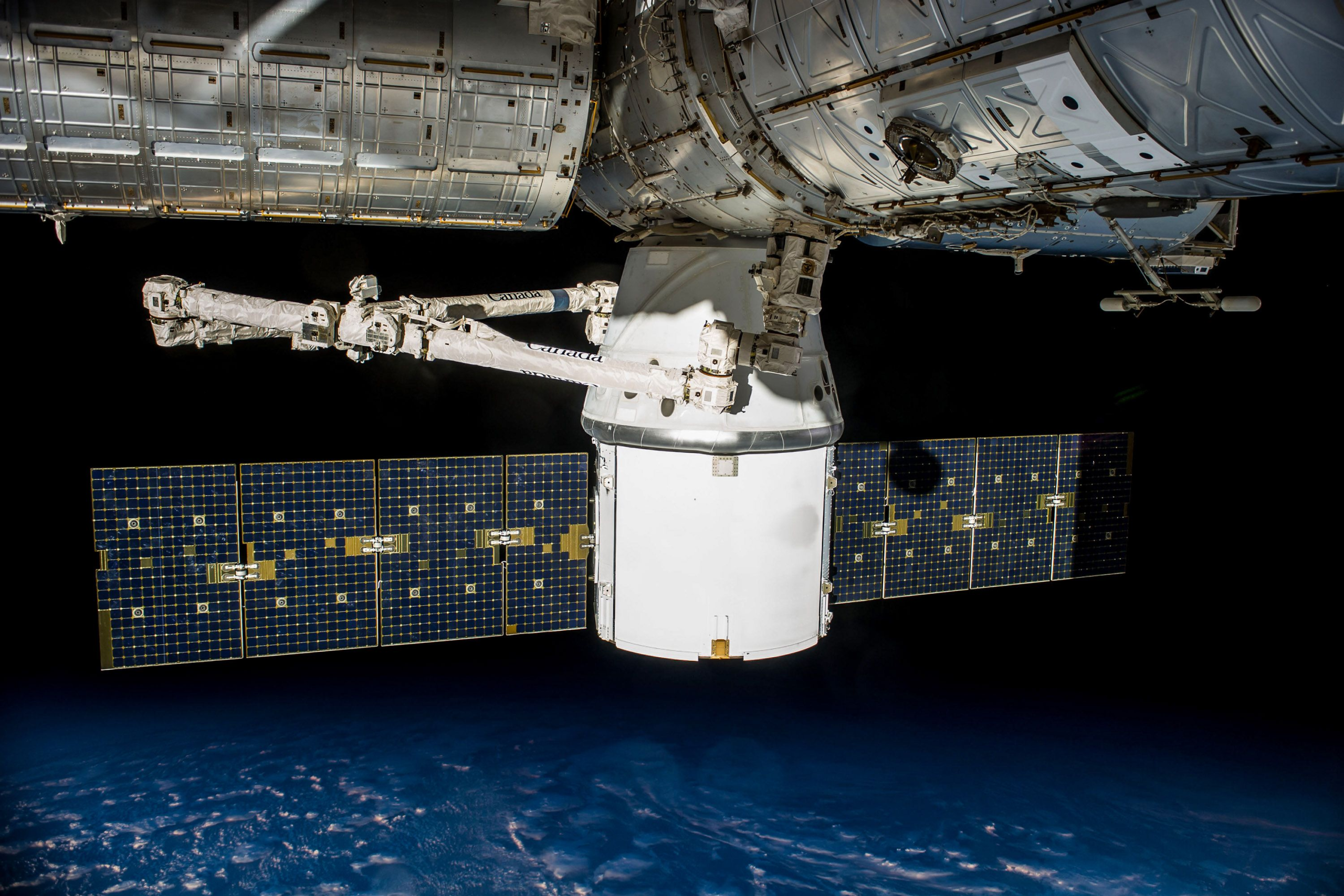
ICEYE operates synthetic aperture radar satellites and already supplies observations used to assess the effects of disasters on buildings. OroraTech specialises in thermal sensing for identifying and monitoring wildfire activity, with both proprietary and publicly available satellite data contributing to its services.
The two observation methods provide different kinds of evidence. Thermal sensing can reveal unusual heat associated with an active fire, while radar can help establish changes to the physical environment. Combining the information could allow users to examine an incident’s development and the resulting damage through a more consistent service.
As wildfires approach settlements, electricity infrastructure and transport routes, the information required by emergency organisations changes quickly. Identifying where a fire has started is different from assessing which buildings have been affected and where inspection or recovery work should begin.
Thermal observations follow active fires
OroraTech’s technology uses infrared measurements to identify hotspots and track the activity of developing fires. Observations can help analysts establish where unusual heat is present and how the affected area changes between successive measurements.
Satellite thermal data offers broad geographical coverage, which is particularly useful where incidents occur in remote areas or terrain that is difficult to inspect from the ground. It can supplement information provided by emergency responders, weather services and other monitoring systems.
The technique nevertheless has limitations. Sensor resolution, observation frequency and atmospheric conditions influence what can be detected, while a thermal anomaly does not automatically establish the cause of an event or the danger it presents to nearby communities.
Some hotspots may require confirmation through additional observations or local reports. A fire can also develop substantially between satellite passes, meaning that an image should be interpreted as an observation made at a particular time rather than an uninterrupted view of current conditions.
OroraTech provides its observations through wildfire monitoring software intended to help users assess active events and receive alerts. Its integration with ICEYE is designed to connect that earlier information with subsequent observations of infrastructure impacts.
Radar adds a different view of the damage
ICEYE’s synthetic aperture radar satellites transmit signals towards the Earth’s surface and analyse the information returned. Unlike conventional optical imagery, radar does not depend on daylight and can acquire observations through cloud cover and darkness.
This capability is useful when smoke, weather or poor visibility limit other forms of observation. Radar imagery can reveal changes to structures and terrain, providing information that supports the assessment of damage during and after an incident.
ICEYE says its existing wildfire offering has supported building-level damage assessment while fires remain active. The company intends to connect those observations with OroraTech’s earlier thermal information so that customers can follow the same event through detection, response and recovery.
However, radar and thermal sensors do not share identical capabilities. Radar’s ability to operate through clouds does not mean thermal measurements are unaffected by atmospheric conditions, and neither method guarantees that every location can be observed continuously.
Reliable interpretation also depends on combining information collected at different times and spatial resolutions. A thermal observation may show an active fire front at one moment, while a subsequent radar acquisition may reveal physical changes after the fire has moved.
For an integrated platform, accurate timestamps and geographical alignment are therefore important. Operators need to distinguish current observations from historical measurements and understand where the available information leaves uncertainty.
Applications extend beyond firefighting
Emergency management organisations could use the combined information to refine assessments of where a fire is moving, identify threatened communities and support decisions about deploying response resources.
Satellite observations can provide useful evidence when authorities need to compare threats across a large area. They cannot independently determine whether an evacuation route is safe, whether firefighters can access a particular location or how local wind conditions will develop.
Those decisions still depend on operational information from agencies working on the ground. The service would be one source within a wider emergency management process, rather than an automated replacement for incident commanders.
Electricity network operators face a related problem when fires threaten substations, transmission corridors or other assets. Knowing which areas are exposed can help prioritise inspections, maintenance resources and preparations for possible interruptions.
Following a fire, satellite imagery may identify locations where damage is likely. Engineers would still need to assess the condition of critical equipment before determining whether it can safely return to service.
For insurers, the companies envisage applications involving exposure monitoring, claims triage and the deployment of loss adjusters. Damage maps may help identify concentrations of affected properties and organise work, although individual claims require evidence that reflects the relevant policy and actual loss.
Bringing those activities into a common event record could reduce the effort involved in gathering information from several providers. Customers will nevertheless need to integrate the service with their own property, infrastructure and operational databases before its observations can inform detailed decisions.
Performance claims remain to be tested
ICEYE and OroraTech describe the integrated service as providing continuous, near-real-time intelligence during wildfire events. They also suggest that improved damage assessments could support disaster declarations within 24 hours rather than the longer periods sometimes associated with traditional processes.
These claims concern the intended capabilities and benefits of the combined offering. The companies have not published a comprehensive independent evaluation establishing continuous monitoring, a consistent 24-hour assessment turnaround or the resulting improvements in emergency outcomes across different types of wildfire.
Actual performance will depend on the satellites available, the timing of their observations, processing requirements and the communications arrangements used to deliver information to customers.
Even when observations are technically available, an authority or business must determine whether their resolution and accuracy are sufficient for the decision being made. A broad geographical assessment may be valuable for allocating resources while remaining unsuitable as definitive evidence of damage to a particular building.
The partnership draws on operational capabilities already developed independently by both companies, but integrating those capabilities introduces new questions about data consistency, service availability and the commercial terms offered to customers.
For emergency authorities, utilities and insurers, evidence of value will come from actual incidents in which the combined information changes how quickly and accurately teams identify threats or assess damage. The October agreement establishes a new integrated offering, with broader operational performance still to be demonstrated.